en
en Български

SubTotal: 00.00 BGN
This site uses cookies to help give you the best possible user experience. By continuing to browse this site you give consent for cookies to be used!
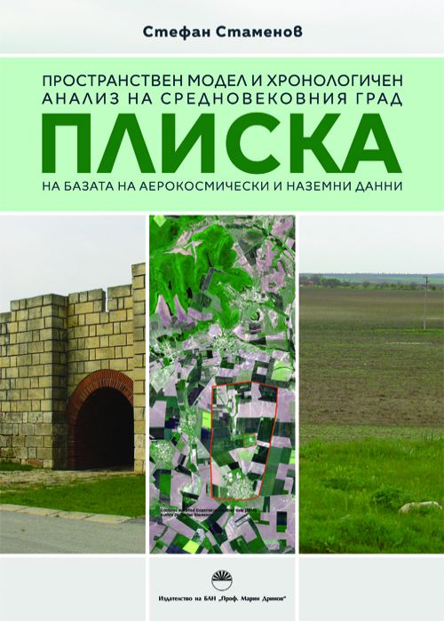
SPATIAL MODEL AND CHRONOLOGICAL ANALYSIS OF THE MEDIEVAL TOWN OF PLISKA BASED ON AEROSPACE AND GROUND-BASED DATA
Stefan Stamenov
Summary
In this research a spatial model of the Outer town of the medieval town of
Pliska is created, that can serve for planning of archaeological investigations, management
and conservation of the cultural heritage of this archaeological site. The spatial model
integrates aerospace and ground-based data, it is focused on non-destructive research and on
documenting of archaeological site – medieval town, through remote sensing and GIS
methods and technologies and their integration with traditional archaeological methods. It
can be applied in research and documenting of other archaeological sites, too. A GIS-based
complex method for non-destructive research and for documenting of archaeological site to
the level of field archaeological investigation is elaborated. The result of the spatial model is
elaborated and built geo-database that contains information about the archaeological sites
and land cover. A land cover classification scheme for the purposes of the archaeological
research is elaborated.
Pliska is created, that can serve for planning of archaeological investigations, management
and conservation of the cultural heritage of this archaeological site. The spatial model
integrates aerospace and ground-based data, it is focused on non-destructive research and on
documenting of archaeological site – medieval town, through remote sensing and GIS
methods and technologies and their integration with traditional archaeological methods. It
can be applied in research and documenting of other archaeological sites, too. A GIS-based
complex method for non-destructive research and for documenting of archaeological site to
the level of field archaeological investigation is elaborated. The result of the spatial model is
elaborated and built geo-database that contains information about the archaeological sites
and land cover. A land cover classification scheme for the purposes of the archaeological
research is elaborated.
Аbout The Author
Specifications
ISBN: 978-954-322-980-2
DOI: n/a
Year of Publication: 2019
Category: Archaeology
Language: Bulgarian
Recently Viewed е-Books